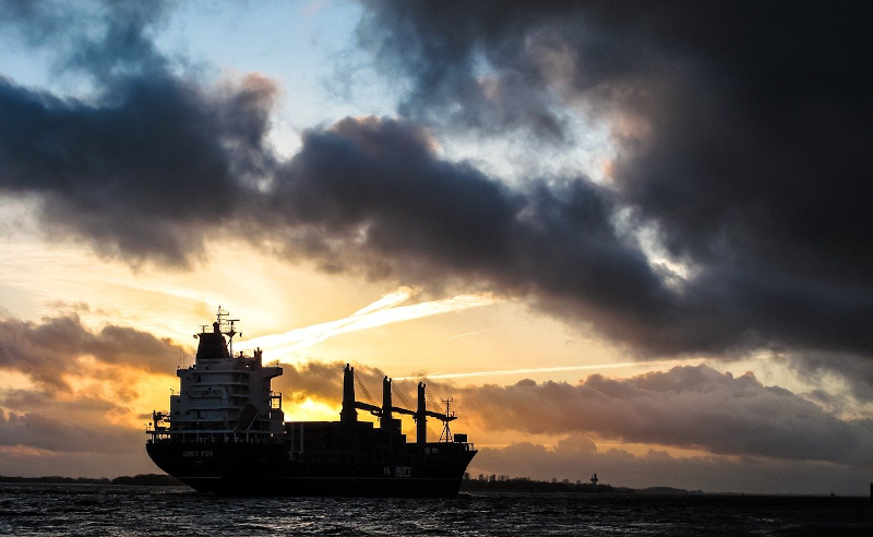
It would seem that for as long as there have been ships on the ocean, there’s been smuggling. The International Maritime Organisation requires ships to have AIS, the automatic identification system which is akin to a transponder on an airplane. However, if you don’t want to be found, you often turn off your AIS. So how do governments and insurance companies track so-called dark ships? Using satellite technology. A recent post in Global Investigative Journal tells the story of how lower-cost satellites are helping track these dark ships.
Optical tracking is the obvious method, but satellites that can image ships can be expensive and have problems with things like clouds. Radar is another option, but — again — an expensive option if you aren’t a big military agency with money to spend. A company called HawkEye 360 uses smallsats to monitor ship’s RF emissions, which is much less expensive and resource-intensive than traditional methods. Although the data may still require correlation with other methods like optical sensing, it is still cost-effective compared to simply scanning the ocean for ships.
The post tells the tale of an Iranian crude oil tanker. Noting a long gap in the AIS signal from the ship, HawkEye 360 attempted to locate the ship the next time it went dark. Of course, AIS can be off for other reasons, such as equipment failure or fear of piracy. Simply not squawking AIS isn’t a definite sign of malfeasance.
Using the satellite, radio transmissions on VHF channel 16 (156.8 MHz) — the standard calling frequency — were found from the ship and it appeared they were offloading crude oil to a refinery in Syria. With a specific target in mind, commercial satellite imaging picked up 3-meter resolution images of the ships and — apparently there is a database of ships at that resolution — identified four Iranian flag tankers at the site, three of which had arrived in stealth mode.
The HawkEye 360 satellites can pick up radar, emergency beacons, satellite phones, and VHF radio signals. A map shows the difference between the number of AIS signals in the South China Sea and the number of X-band radar signals. The AIS map looks sparse, whereas the radar map shows 3-4 times the number of vessels.
In another example, uses ESA’s Sentinel 1 satellite and synthetic aperture radar to locate ships going from China to North Korea. ICEYE, another smallsat company, is tracing illegal fishing activity around Argentina and smuggling near the UAE.
It is amazing to see how much satellite tech that would have been deep secret a few years ago is now commercially available. It isn’t just useful for law enforcement, either. The resolution is a far cry from the old weather satellites people tend to eavesdrop on.
No comments:
Post a Comment